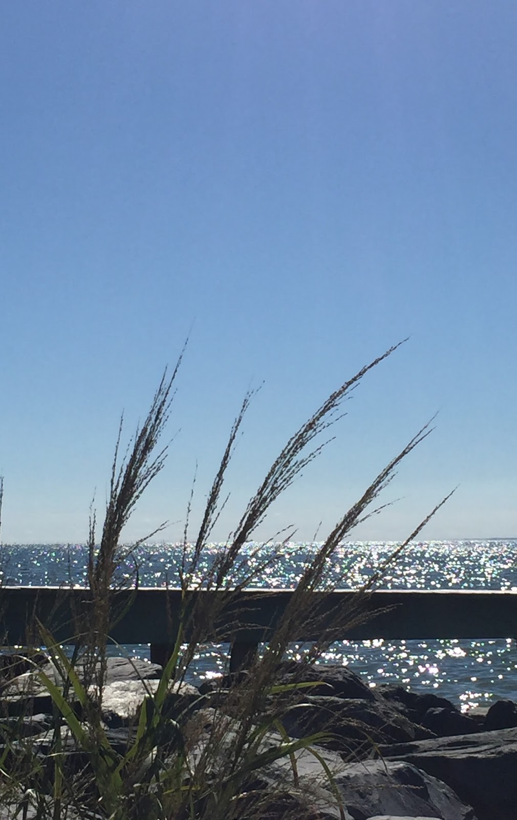
It took a little less than 2
hours to arrive in a small town with the perfect blend of water, woods, and
farmland. Additionally, this unassuming
town was actively involved in several events of significant history – a few stemming
back as far as the War of 1812. I was anxious
to begin my exploration!
It took a little less than 2
hours to arrive in a small town with the perfect blend of water, woods, and
farmland. Additionally, this unassuming
town was actively involved in several events of significant history – a few stemming
back as far as the War of 1812. I was anxious
to begin my exploration!  |
| Slaughter Creek |
Taylors Island is an unincorporated community and is located in the western part of Dorchester County. The town has 173 residents, and encompasses a total land area of 4.14 square miles in addition to .02 square miles of water. It is separated from the mainland by Slaughter Creek.
Taylors Island
was actually one of the first settlements in Dorchester County. In 1662, John and Thomas Taylor took
ownership of about 400 acres on the island and originally called it “Taylor's
Folly.” At the time of the island’s settlement,
Taylors Island was connected at the north to James Island and at the south to
Hooper’s Island.
However,
severe erosion by the Chesapeake Bay from the west has now eliminated most of
James Island and all traces of the road to Hooper’s Island. This
constant deterioration by the Chesapeake Bay has reduced the size of Taylors
Island by a significant amount since it was first settled. There is good evidence the Bay has taken roughly
1,500 acres from the west side of the island in the last 100 years.
 |
| Gull overlooking Slaughter Creek |
My journey began as I approached the Slaughter Creek
Bridge. My lunchtime location was
located at the base of the bridge, but lunch would have to wait since it was
much too early in the day to indulge in seafood. You had
to know seafood was on the menu since I was visiting a town located on the
Chesapeake Bay, right? Onward to the
first stop on my agenda – the Taylors Island Family Campground.
Before I continue, I had to wonder how Slaughter Creek
got its name. According to, “The
Disappearing Islands of the Chesapeake” by William B. Cronin:
“As the story goes, the creek
got its name from a man who joined the hated seventeenth century pirate Rodger
Makeele whose exploits are chronicled in Donald G. Shomette’s, “Pirates on the
Chesapeake.” In the 1680s, Makeele
sailed out of Watts Island preying on local shipping and the few unfortunate
people who lived on the shores of the [Chesapeake] bay.”
In other words, apparently meeting Mr. Makeele = meeting your demise, hence “Slaughter Creek.”
 |
| Slaughter Creek Bridge |
As mentioned earlier, Slaughter Creek separates the
island from the mainland. Connection
with the mainland was originally by ferry until about 1852 when the Maryland legislature
approved the building of a bridge. In 1856, a wooden bridge was constructed,
and in 1999 a new concrete bridge was dedicated.
Not long after I crossed the Slaughter Creek Bridge I
arrived at the Taylors
Island Family Campground. It is
located on the Chesapeake Bay, so if you are a fisherman, this family friendly campground
is definitely worth checking out.
According to the camp’s website, tenting and transit sites are available
by the day, week, or by the month. Camper
rentals
 and an apartment rental are also available. In fact, there are a total of 161 camp/RV
sites. Additionally, there is a boat
launch and a little marina with a channel leading out to the Bay. A few people without boats were fishing from
the jetties. If you wanted to go
swimming in one of the coves, you could do that, too. During
the summer, there are ice-cream parties, concerts, pool parties, movies, mini
golf, and other activities for families. Everyone walking around the property
was smiling and waving as I drove by.
Was it too crowded to relax? Not
at all.
and an apartment rental are also available. In fact, there are a total of 161 camp/RV
sites. Additionally, there is a boat
launch and a little marina with a channel leading out to the Bay. A few people without boats were fishing from
the jetties. If you wanted to go
swimming in one of the coves, you could do that, too. During
the summer, there are ice-cream parties, concerts, pool parties, movies, mini
golf, and other activities for families. Everyone walking around the property
was smiling and waving as I drove by.
Was it too crowded to relax? Not
at all.
Overall, it was a very pleasant
experience, and is a place I would seriously consider staying if I were camping
on the Eastern Shore.

 |
| Channel - Taylors Island Family Campground |
Getting back on the road, I decided my next stop would be
the Bay
Shore Road House. This one room
house was built between 1840 and 1850 and is located on the corner of Bay Shore
and Hoopers Neck Road. According to the
short description provided, this type of house is a rare survival in Dorchester
County and is representative of a once common house design used by a large
portion of residents of the Eastern Shore during the eighteenth and nineteenth
centuries.
The house did not have a
numbered street address – it was simply a little house sitting at the
intersection of two roads. This house
was not always situated here, though. In
the mid-twentieth century, it was relocated here from another nearby, unknown
location. Unfortunately, the house was
boarded up and posted with “No Trespassing” signs. Sadly, I really wanted to see what the inside
of this house looked like. However, I
had no desire to see what the inside of a jail cell looked like, so I moved on!
 |
| Bay Shore Road House |
Not far from this house was the Grace
Episcopal Church Complex, so I decided to venture over there. However, it was difficult to find as only the
street name was listed. If you are
interested in seeing the complex, you will want to turn right on Hoopers Neck
Road off Bay Shore Road (the Bay Shore Road House will be on your left on the
corner) and drive about 3 miles – the complex will be on your left. Not knowing this, I turned left, drove about
5 miles and came to the road’s dead end.
With no signs/markers posted, looking for these places is always like
participating in a treasure hunt – LITERALLY!
When I finally
reached the complex I was immediately impressed with the three buildings
standing before me. It was evident the
community takes pride in their history – the buildings looked freshly painted,
the lawn was manicured, and the trees and shrubbery were well pruned. There were only a handful of homes located
near the complex – the entire area was extremely peaceful. Unfortunately, there was not anyone present
to give me a tour or open the buildings, so I could only look around in admiration.
As stated
above, there were three structures in this complex – a schoolhouse, a Chapel
of Ease, and the Grace Episcopal Church. Both the Chapel of Ease and the schoolhouse
have some pretty interesting history. I
will begin with the Chapel of Ease…..
The Chapel of Ease was the
first church
built on Taylors Island, and it is believed the building was constructed
between 1707 and 1720. However, where
the chapel is standing now is not the structure’s original site – it was
actually located several miles from its present location. By about 1762, it became a Chapel of Ease for
members of Old Trinity Church who lived too far from the church to attend
services. In 1873, the Grace Episcopal
Church was built and the Chapel of Ease ceased to be used as a place of
worship. Prior to moving the chapel to
its present location, it served successively as a school for African-American
children, a blacksmith shop, voting place, community hall, and for farm
storage. In 1951, the chapel was
purchased by the Grace
Foundation for $800.00 and moved to its present site and restored. A fireplace has been added, which contains
more than 5,000 bricks from old homes on Taylors Island and from
Baltimore. The flooring was restored
using wood from old buildings on Taylors Island. The balcony is original and reportedly built
of materials salvaged from a ship.
 |
| Chapel of Ease |
 |
| Old Taylors Island Schoolhouse |
 |
| Grace Episcopal Church |
Realizing that two of the three buildings located
on the complex were actually “rescues” made me smile. Thanks to the Grace Foundation each was
restored and not destroyed. The community
is certainly doing what it can to preserve the town’s past.
Shifting gears, I would like to make mention of a little
known fact about a celebrity born on Taylors Island. I am speaking of the beautiful Rebecca T.
Ruark. Who? Well, she’s not a “who,” she’s a “what.” The Rebecca T. Ruark is
actually the name of a skipjack. If you didn’t know this already, a skipjack
is a traditional fishing boat used on the Chesapeake Bay used for oyster
dredging, and in 1985 was designated
as the State boat of Maryland. How does
this all relate to Taylors Island? In
1886, the Rebecca was built on
Taylors Island and is the oldest skipjack on the Chesapeake Bay still
sailing AND still racing. Is she
fast? You betcha! She just won the 2016 Deal Island
Labor Day Skipjack Race. Her home port is not on Taylors
Island, though – her home is at nearby Tilghman Island, Maryland. Rebecca’s story is well documented, and I hope
if you have a few moments you will take the time to access the above hyperlink
and read the article written by Cyndy Carrington Miller. Ms. Miller closes her article with the following:
“The story of Rebecca T. Ruark can't be told
without reference to the races. Without a doubt, she's a fast boat. There are
two surviving skipjack races, the Deal
Island Labor Day race and the Choptank
Heritage Skipjack Race in Cambridge. Since 1988, Rebecca and Wade Murphy [her owner]
have won the Deal Island race 11 times, more than any other boat or captain in
the history of the race, and they won the Cambridge race four times between
2010 and 2014. Author Christopher White, in his book Skipjack,
described racing as "blood sport" for Wade Murphy. He never won a
race with Sigsbee [Wade’s other
skipjack], but says, "Ruark
can sail herself."”
It wasn’t
quite time for lunch yet, so I set out to find two of the town’s historical
markers. The first marker I searched for
signified The
Battle of the Ice Mound. In
short, The Battle of the Ice Mound
was Maryland’s last engagement in the War of 1812.  A tender (large
ship) to the British ship of war, the H.M.S. “Dauntless,” was captured by Captain
Joseph Stewart and local militia after it became stuck in ice near James Island. The carronade (cannon) taken
from the tender was named for two of the twenty British crewmen captured – the
commander, Lieutenant Matthew
Phibbs and African American Cook Becca. The
battle – actually more of a skirmish – took place on 7 February 1815. This was a month after the Battle of New
Orleans and just ten days prior to ratification of the Treaty of Ghent. Ms. Gloria Rojas of The Dorchester Banner made a very interesting comment about this conflict:
A tender (large
ship) to the British ship of war, the H.M.S. “Dauntless,” was captured by Captain
Joseph Stewart and local militia after it became stuck in ice near James Island. The carronade (cannon) taken
from the tender was named for two of the twenty British crewmen captured – the
commander, Lieutenant Matthew
Phibbs and African American Cook Becca. The
battle – actually more of a skirmish – took place on 7 February 1815. This was a month after the Battle of New
Orleans and just ten days prior to ratification of the Treaty of Ghent. Ms. Gloria Rojas of The Dorchester Banner made a very interesting comment about this conflict:
“The biggest irony of the Battle of the Ice Mound is that the Treaty of Ghent, an end to the war, was signed on Christmas Eve in Ghent, Belgium. The war had been over for a month and a half when this battle took place. But with no internet, no phone system — even the telegraph and Morse code had not been invented — word did not get back to the American continent. So the famous Battle of New Orleans, with horrendous numbers of casualties, and the lesser-known Battle of the Ice Mound, were both fought by two countries at peace.”
 A tender (large
ship) to the British ship of war, the H.M.S. “Dauntless,” was captured by Captain
Joseph Stewart and local militia after it became stuck in ice near James Island. The carronade (cannon) taken
from the tender was named for two of the twenty British crewmen captured – the
commander, Lieutenant Matthew
Phibbs and African American Cook Becca. The
battle – actually more of a skirmish – took place on 7 February 1815. This was a month after the Battle of New
Orleans and just ten days prior to ratification of the Treaty of Ghent. Ms. Gloria Rojas of The Dorchester Banner made a very interesting comment about this conflict:
A tender (large
ship) to the British ship of war, the H.M.S. “Dauntless,” was captured by Captain
Joseph Stewart and local militia after it became stuck in ice near James Island. The carronade (cannon) taken
from the tender was named for two of the twenty British crewmen captured – the
commander, Lieutenant Matthew
Phibbs and African American Cook Becca. The
battle – actually more of a skirmish – took place on 7 February 1815. This was a month after the Battle of New
Orleans and just ten days prior to ratification of the Treaty of Ghent. Ms. Gloria Rojas of The Dorchester Banner made a very interesting comment about this conflict: “The biggest irony of the Battle of the Ice Mound is that the Treaty of Ghent, an end to the war, was signed on Christmas Eve in Ghent, Belgium. The war had been over for a month and a half when this battle took place. But with no internet, no phone system — even the telegraph and Morse code had not been invented — word did not get back to the American continent. So the famous Battle of New Orleans, with horrendous numbers of casualties, and the lesser-known Battle of the Ice Mound, were both fought by two countries at peace.”
On 7 February 2015, Taylors Island experienced the Battle
of the Ice Mound once again when the town engaged in a bicentennial
re-enactment.
It was at this point I realized that I was getting pretty
hungry. The second marker would have to
wait. So, I drove over to Palm Beach Willies (PBW) for
lunch. PBW is a locally run and operated
floating dock bar and grill located in the Slaughter Creek Marina
complex.

As it is situated on the banks of Slaughter
Creek (off the Little Choptank River), it is not a problem arriving by either
car or boat.
When I got to PBW, I
initially sat at a table located in the area with the bar. I saw tables located in the adjacent
building, which was a screened-in area, so I asked if I could move out
there. Good move! Nice breeze, water, sunshine, boats….AND I
was the only one in the room! Now, about
the food. I actually perused the online menu
before I left home in the morning, so I had already decided on an entrée when
the waitress came by with the menu.
Handing it to me, she began listing the specials. One of the specials was “JJ’s Oysters” (an
appetizer.) Hmmmm….alright….my mind has
been changed. This was the
description: 6 oysters (no shells), laying
in Worchester sauce in a small cast iron skillet, topped with cheese, bacon,
and then broiled to perfection. I quickly
ordered the special (sans bacon) along with a small salad.
As I sat looking at the gorgeous scenery,
 |
| Palm Beach Willies |
 |
| Palm Beach Willies |
The rodeo is on a regular circuit and a competition may be found somewhere on the Chesapeake Bay every weekend. Mike mentioned there is also a category for those under 16, in which a 12 year old girl competed and an 11 year old boy won. We spoke a bit more about the rodeo, I thanked Mike for the information he provided, and I made my way back to my table. The rodeo is definitely another item I will be adding to my “Must See” list!
 |
| JJ's Oysters |
 |
| British carronade Becky Phipps |
The second marker I spoke of was for the cannon Becky Phipps. Remember this cannon was mentioned in the description of the first marker? Around 1950, this 12-pounder carronade was mounted, and in 1999 refurbished by the Maryland State Highway Administration. It was nicknamed the “Becky Phipps,” in recognition of both the cook and commander on the British tender from which the carronade was taken. However, the cook’s name was actually Becca, not Becky, and the commander was Lieutenant Matthew Phibbs, not Phipps.
According to the Grace Foundation, the name
of the cannon has always had an incorrect spelling of “Phipps.” For many years, the cannon was frequently
fired in celebration of local and national events. According to newspaper
reports, the cannon was fired for the last time in 1912 when President Woodrow
Wilson was elected to office. It was
reported that the cannon was overloaded and exploded when fired in celebration
of the election. In 1950, through the
efforts of the Daughters of the American Revolution and a few local citizens,
the remains of the cannon were collected and located to its present site.
In checking the time, I realized I needed to start my journey home. This was another great visit to one of Maryland’s small towns. However, this just isn’t a small town - Taylor’s Island is actually one of the Chesapeake Bay’s small islands. Unfortunately, these small islands are slowing disappearing due to rising sea levels. I feel extremely fortunate that I took the opportunity to see something of such historical value that may soon vanish in the not too distant future.